סו
צילום: DescriptionSault (Vaucluse) OSM 03.png This map was created from OpenStreetMap project data, collected by the community. This map may be incomplete, and may contain errors. Don't rely solely on it for navigation. Date (see file history) Source openstreetmap.org Creator OpenStreetMap contributors Permission(Reusing this file) OpenStreetMap data is available under the Open Database License (details). Map tiles are licensed under the Creative Commons Attribution-ShareAlike 2.0 license (CC-BY-SA 2.0). This work contains information from OpenStreetMap, which is made available under the Open Database License (ODbL). The ODbL does not require any particular license for maps produced from ODbL data. Prior to 1 August 2020, map tiles produced by the OpenStreetMap Foundation were licensed under the CC-BY-SA-2.0 license. Maps produced by other people may be subject to other licences.Open Database LicenseODbLhttp://opendatacommons.org/licenses/odbl/1.0/true This file is licensed under the Creative Commons Attribution-Share Alike 2.0 Generic license. You are free: to share – to copy, distribute and transmit the work to remix – to adapt the work Under the following conditions: attribution – You must give appropriate credit, provide a link to the license, and indicate if changes were made. You may do so in any reasonable manner, but not in any way that suggests the licensor endorses you or your use. share alike – If you remix, transform, or build upon the material, you must distribute your contributions under the same or compatible license as the original.https://creativecommons.org/licenses/by-sa/2.0CC BY-SA 2.0 Creative Commons Attribution-Share Alike 2.0 truetrue Georeferencing Georeference the map in Wikimaps Warper If inappropriate please set warp_status = skip to hide. (BY-SA)
💜

סו

בואו לגלות את הכפר הקסום סו, השוכן על מישור לבנדר ענק בלב רמת אלביון הפרובנסלית.

⏱️ חצי יום🗓️ יוני-יולי⛰️ קל
נווטו עם WazeGoogle Maps
שתפו:

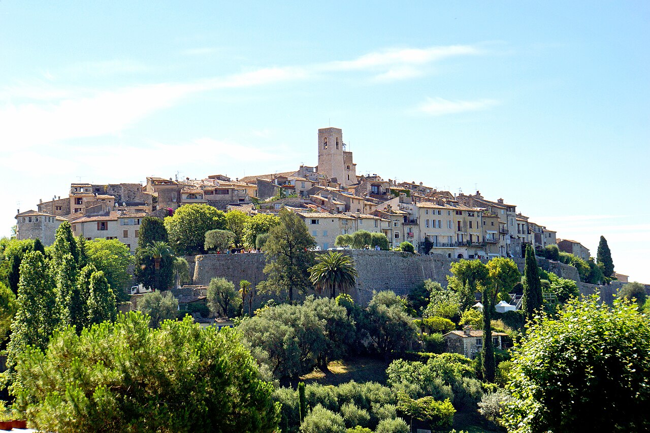
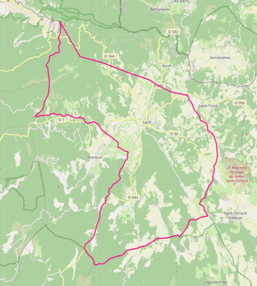
סו (Sault) הוא כפר הררי מקסים בפרובנס עילית, השוכן בגובה 770 מטרים בלב רמת אלביון. הכפר הקטן הזה הוא אחד היעדים המרכזיים לטיול בשדות הלבנדר בפרובנס, והוא מוקף במישור לבנדר עצום – אוקיינוס סגול אינסופי שנמתח עד האופק. הנוף המרהיב והאוויר הצח הופכים את סו לחובה בלוח הטיולים שלכם בחודשים יוני-יולי, אז הלבנדר בשיא פריחתו.

מסלול הליכה נהדר הוא שביל הלבנדר (Sentier de la Lavande) שיוצא ממש מקצה הכפר. השביל מסומן היטב, מתאים לכל המשפחה ואורכו כקילומטר וחצי. תוך כדי הליכה, תוכלו להתרשם מקרוב משלל זני הלבנדר, לטעום דבש לבנדר בקיוסק מקומי, ולצלם תמונות מרהיבות עם הרכסים הסגולים ברקע. כל שדה מפיץ ניחוח משכר שיישאר איתכם הרבה אחרי שתחזרו.

מה לעשות בסו חוץ מהשוטטות בשדות? כדאי לבקר בשוק המקומי שמתקיים בימי רביעי בבוקר – שם תמצאו גבינות, זיתים, דבש וכמובן מוצרי לבנדר באיכות מעולה. אל תפספסו עלייה למגדל הפעמונים של הכנסייה העתיקה, ממנו נשקף הנוף המדהים של מישור הלבנדר. ובסופו של יום, שבו באחת המסעדות המשפחתיות ליד הכיכר להתענג על תבשיל פרובנסלי מסורתי.

אולי תאהבו גם

תמונות מטיילים

טוענים תמונות…

תגובות

טוענים תגובות…

עוד באזור הזה

מקומות דומים שתאהבו